-
GIS Day 2024: Key Takeaways
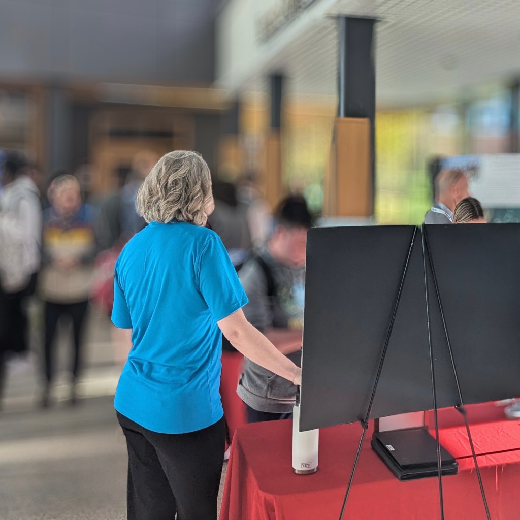
Reflections from GIS Day at Bridgewater State University On November 20th, I had the privilege of presenting at Bridgewater State University’s GIS Expo as part of GIS Day. GIS Day coincides with National Geography Week. Both events aim to raise awareness about the importance of GIS and related fields. A Unique Role at the Event…
-

Downsampling – Does it mean what you think it means?
Let’s talk about these words: Downsampling, downscaling, upscaling, upsampling, large scale, & small scale. “You keep using that word. I do not think it means what you think it means.” Inigo Montoya, The Princess Bride. When I work in climate resilience and spatial analysis, downscaling is the process of taking coarser resolution data and estimating…
-
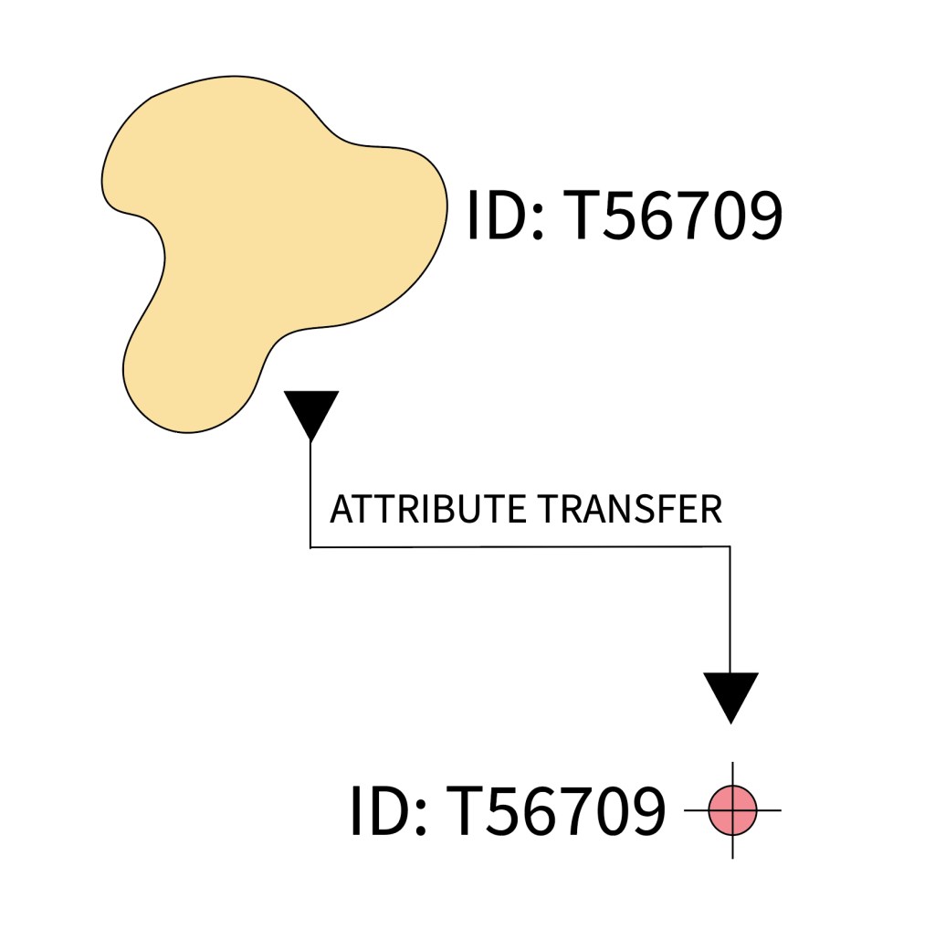
Why you might not want to use the Transfer Attributes Tool in ArcGIS Pro.
I found a use for the transfer attributes tool this week that I will end up using regularly and it made me think about the tool’s purpose and why we might want to avoid using it as much as possible. I think there are many potential uses for batch geospatial processing methods that transfer attributes.…
-
The case for GISP Certification
Over the years I have wondered a lot about whether it made sense to pursue my GISP. A GISP is a certification designation as a “GIS Professional” that is administered and reviewed through GISCI and originally developed by the Urban and Regional Information Systems Association (URISA). Whether to get GISP certification is a divisive topic…
-
Book Review: Spatial Statistics Illustrated
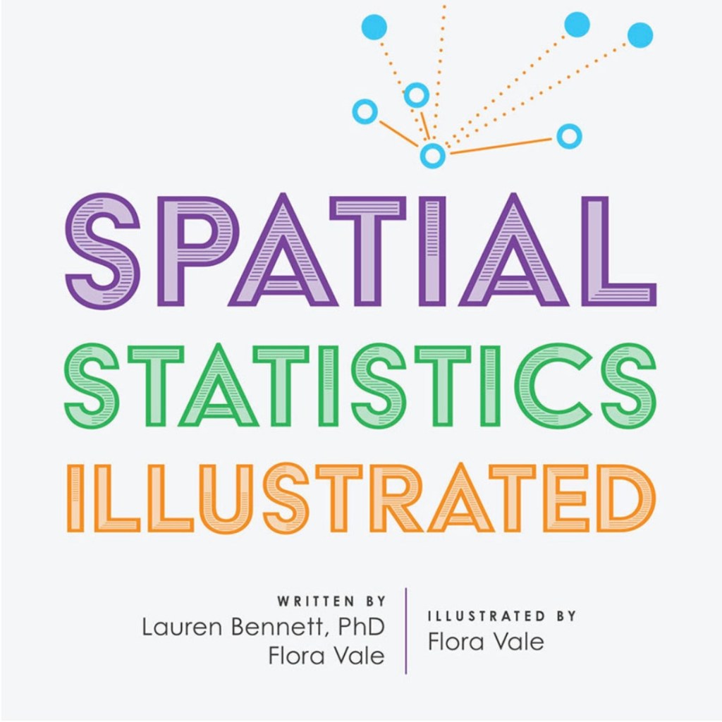
Spatial Statistics Illustrated is a new book by Lauren Bennett and Flora Vale that was advertised in the most recent ArcNews published by ESRI. The book contains clean graphics which do an excellent job describing the spatial statistical methods discussed. The book isn’t a comprehensive overview of spatial statistics but does highlight several key methods…
-
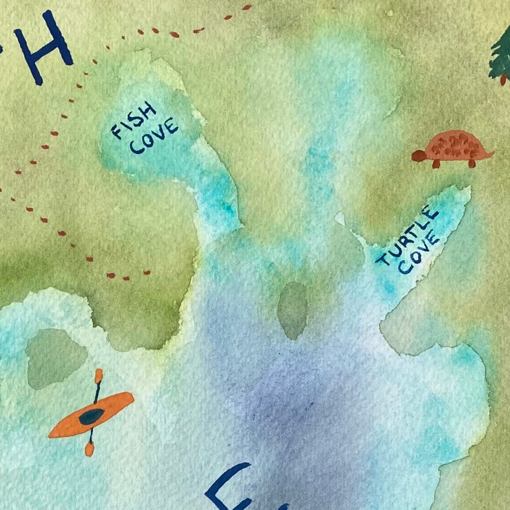
Cartography as Art
This past week I was on vacation with my extended family. I took some time out of kayaking, open water swimming, hiking, and generally counting turtles to explore a few Cartography books, continue with my ESRI courses, and make an artistic map. For ESRI courses I took: Sharing Maps and Layers with ArcGIS Pro was…
-
Subscribe
Subscribed
Already have a WordPress.com account? Log in now.
