This past week I was on vacation with my extended family. I took some time out of kayaking, open water swimming, hiking, and generally counting turtles to explore a few Cartography books, continue with my ESRI courses, and make an artistic map.
For ESRI courses I took:
- Getting Started with Spatial Analysis, 100%
- Sharing Maps and Layers with ArcGIS Pro, 100%
Sharing Maps and Layers with ArcGIS Pro was a longer course but key for learning the newer workflows for sharing maps. Gone are the days of creating static maps like PDFs according to ESRI. However, I suspect print maps will still be critical to workflows requiring a snapshot in time without comparisons.
Since this was vacation, I also read through two titles that were a bit more fun and related to cartography as an art form.
- “Map Art Lab” by Jill K. Berry had fun projects to inspire artistic maps. This book would be interesting for those who wanted full creativity control using different mediums for imaginative map making.
- “The Art of Illustrated Maps” by John Ronan I found much more what I was looking for in terms of blending the art form with functional maps. His campus map examples were particularly inspiring.
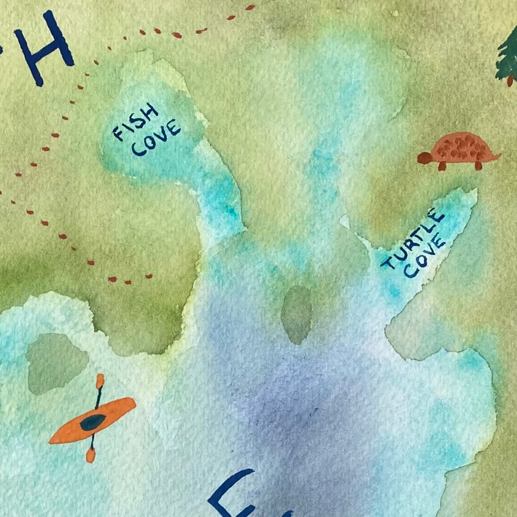
From this inspiration, I took out my watercolors and started a basic sketch of the area we were vacationing. The finished map is far from complete, so I’ll only show a portion but I like how the watercolors give a vague impression of elevation and bathymetry, although they are inaccurate.
I have another vacation week coming up, but I will continue to sneak in some “mappy” work.
Best,
Michelle
