Reflections from GIS Day at Bridgewater State University
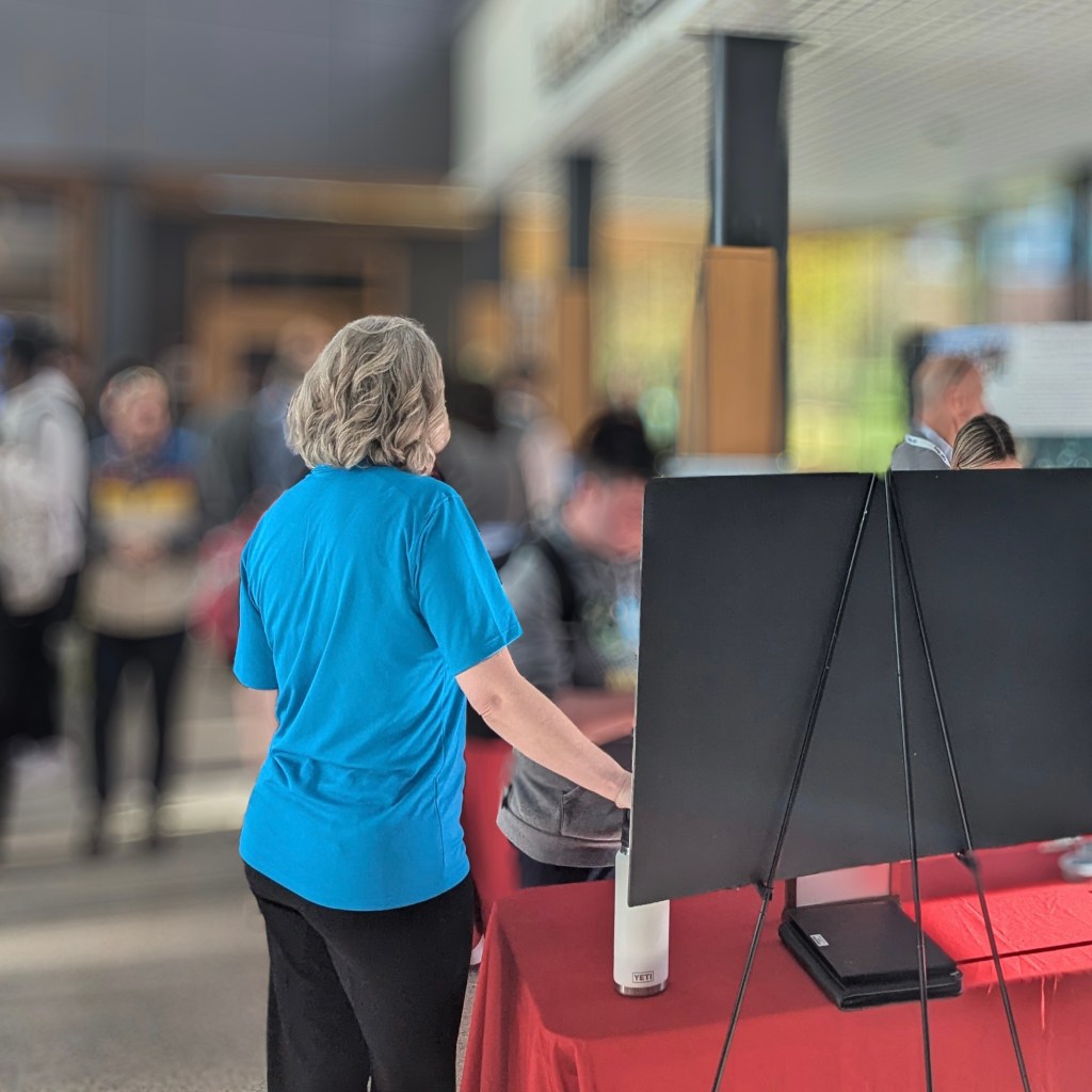
On November 20th, I had the privilege of presenting at Bridgewater State University’s GIS Expo as part of GIS Day. GIS Day coincides with National Geography Week. Both events aim to raise awareness about the importance of GIS and related fields.
A Unique Role at the Event
Unlike other participants, I was the only attendee representing the private-profit sector—though not on behalf of my employer. I approached this event independently, without direct company support, to share my insights about GIS in environmental engineering.
This gave me a unique perspective. Many people aren’t able or willing to dedicate personal time for outreach events like this. This made my experience all the more rewarding. My goal was not to showcase my employer’s specific projects. I discussed the broader role of GIS in environmental engineering and aimed to inspire future professionals.
Key Takeaways from Conversations
Talking with students and colleagues at the event sparked meaningful discussions and reinforced some key observations about the GIS field. Here are the highlights:
1. Underutilization of High-Level Talent
Many industries face a recurring issue: highly skilled GIS professionals are underutilized. Departments often lack a layered structure where entry-level tasks can be delegated to junior staff or non-GIS-focused team members. As a result, skilled professionals spend their time on work that doesn’t fully leverage their expertise.
2. Limited Project Variety
Few GIS professionals have the chance to work on a wide range of projects or analyses. Specialization can sometimes lead to stagnation. While a focused role can build expertise, it may eventually limit opportunities for growth and learning. A more diverse project portfolio helps keep skills sharp and expands professional horizons.
3. Bridging State and Private Sector Efforts
State agencies would benefit from partnerships with private businesses to better communicate the value of their work. A better understanding of the value provided by current state services would gain support to enhance their products and services.
4. The Need for Better Scientific Communication
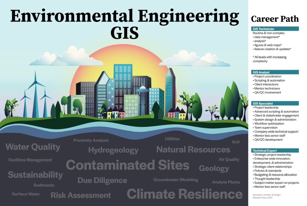
One standout observation was the challenge of creating scientific materials—such as posters, maps, and figures—that are both engaging and easy to understand. This is a critical skill that isn’t always taught or practiced enough.
Diving Deeper: The Art of Scientific Communication
Effective scientific communication depends on two key elements: content design and visual design.
Content Design
Content design focuses on organizing information clearly and logically. If a poster is poorly organized or missing essential information, even the most beautiful visuals won’t save it. It’s easy to overlook gaps in clarity because we’re so close to our own work. A simple way to test your content is to show your work to someone else. If they can understand it without any explanation, you’re on track for a successful presentation.
Visual Design
Visual design enhances how information is presented. If the content is solid but the visuals are weak, the poster might come across as boring or require extra effort to understand. Still, as long as the information is there, knowledge can (eventually) be transferred.
The best posters strike a balance: clear, well-structured content paired with engaging visuals that draw the audience in and make complex ideas accessible.
Final Thoughts
Presenting at GIS Day was a valuable experience. It not only allowed me to share insights about GIS in environmental engineering but also reinforced the importance of ongoing skill development and collaboration in the field.
Whether you’re a student, educator, or professional, events like GIS Day highlight the growing need for GIS expertise in solving today’s challenges. I encourage everyone to get involved, share their knowledge, and keep learning.
For more information on GIS Day itself, please visit ESRI’s GIS Day website.
Best,
Michelle
